Our Advantages
OCAD, the perfect cartographic software supplement to GIS
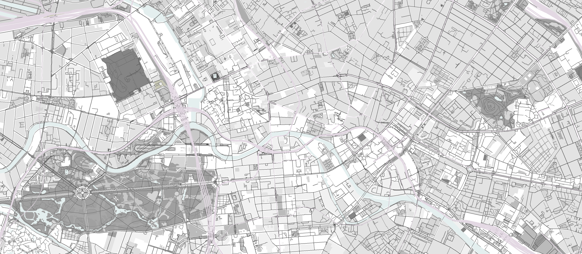
Whether you want to create a public transport map, cycle map or other special maps based on an official city map, with OCAD this is more efficient than with GIS. In no time at all you can derive a city map from your GIS. Thanks to flexible symbol design, you can easily change your city map in OCAD.
OCAD, the perfect cartographic software alternative to desktop publishing applications (DTP) such as Freehand, Adobe Illustrator or Corel Draw
You can edit your city maps and special maps in the familiar DTP user interface and at the same time benefit from integrated geoservices such as WMS and OpenStreetMap to update them. Thanks to the structured symbol design and georeferencing, you can quickly transfer your city and special maps into a GIS.
OCAD, immediately ready to go
In no time you have installed OCAD and are ready to go. OCAD is the slim addition to inert GIS.
OCAD, developed by cartographers for cartographers
OCAD is constantly updated to reflect the latest developments in cartography. You will receive professional support from OCAD experts in cartography and technical support.
Our Services
Migration of existing maps
Whether your digital maps come from Freehand, Adobe Illustrator, Corel Draw or anywhere else, we’ll help you migrate them to OCAD. Then you continue to work with the familiar appearance of the map. Only the data structure is more stringent and allows a simple and efficient tracking with geodata or geoservices.
Training
Our OCAD experts are happy to teach you everything you need to work independently with OCAD.
Our Software
Worldwide use
OCAD is a vector graphics program for drawing togographic maps or various types of plans. The software program was originally developed for the creation of orienteering maps. Today it is successfully used in all areas of professional cartography.
Ongoing development
OCAD has been continuously developed according to customer requirements for 30 years. At the headquarters of OCAD AG in Baar, Switzerland, there are 7 employees who stand up for our credo: “We do whatever it takes to make your maps perfect”.
Our References

District and customised maps for Berlin
“The administration of the city of Berlin is divided into 12 district offices.
These offices use OCAD for the production of the map 1:5000 as well as for district and special maps.”
Barabara Rohnstock
Berlin land surveying offices

City map Lausanne – edition mpa
“We use OCAD mainly for the creation of city maps, panorama and hiking maps. The georeferenced import of hiking trails in combination with raster layers of the national map for our TopoRando series 1:25’000 is very practical.”
Giuliano Beccarelli
Orell Füssli Cartography

City map Istanbul
“In all the years in which we have been working with OCAD, we can only confirm that OCAD AG stands by us in all questions. In case of problems we always try to find a quick solution.”
Yusuf Güven
Mepmedya

City Map Maribor
The Geodetic Institute of Slovenia is a Slovenian cartographic institution with 65 years tradition in mapmaking. All our maps, for the past 20 years, are produced with OCAD. The City Map of Maribor is one of our three »ICA – Excellence in cartography« winning maps.
Primož Kete
Geodetic Institute of Slovenia
OCAD Trial
Try OCAD Full Version for free.
Please register to request the trial version.