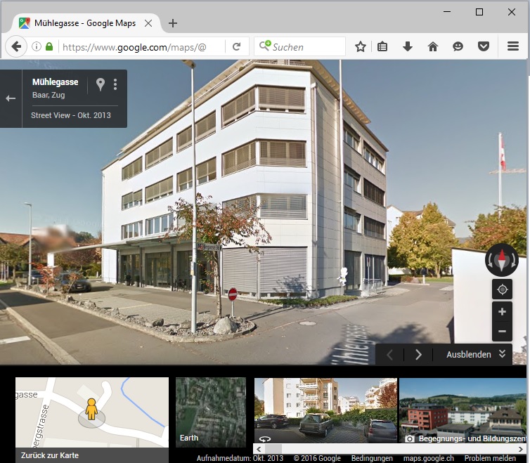
Open Google Street View
Jump to navigation
Jump to search
Open Google Street View
Open Google Street View 


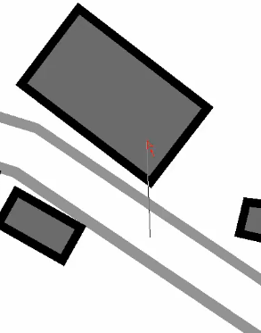
- Select the Open Google Street View icon in the toolbar. The cursor changes to an arrow.
 The toolbar icon is disabled if the map is not georeferenced.
 - Click into the drawing area and drag a direction.
- OCAD opens the web browser with Google Street View at the chosen position and direction.