Open Google Street View: Difference between revisions
Jump to navigation
Jump to search
No edit summary |
No edit summary |
||
| Line 1: | Line 1: | ||
Click to the '''Open Google Street View''' icon in the toolbar. The cursor change to an arrow. | Click to the '''Open Google Street View''' icon in the toolbar. The cursor change to an arrow. | ||
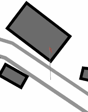
Click into the drawing area and drag a direction. | |||
[[File:GoogleStreetViewDragDirection.png]] | [[File:GoogleStreetViewDragDirection.png]] | ||
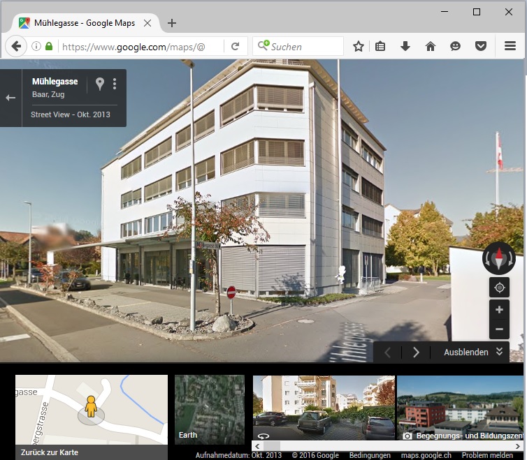
OCAD opens the web browser with Google Street View at the | OCAD opens the web browser with Google Street View at the chosen position and direction. | ||
[[File:GoogleStreetView.jpg]] | [[File:GoogleStreetView.jpg]] | ||
The toolbar icon is disabled when the map is not georeferenced. | [[File:Hint.jpg|hint]] The toolbar icon is disabled when the map is not georeferenced. | ||

