Open Geoviewer
(Redirected from Open Google Street View)
Jump to navigation
Jump to search
Open Geoviewer 


- Select the Open Geoviewer icon
in the toolbar. The cursor changes to an arrow.
- The default geoviewer is Google Street View.
- You can also choose another predefined geoviewer or add an own geoviewer in the OCAD Preferences.
 The toolbar icon is disabled if the map is not georeferenced.
- Click into the drawing area and drag a direction.

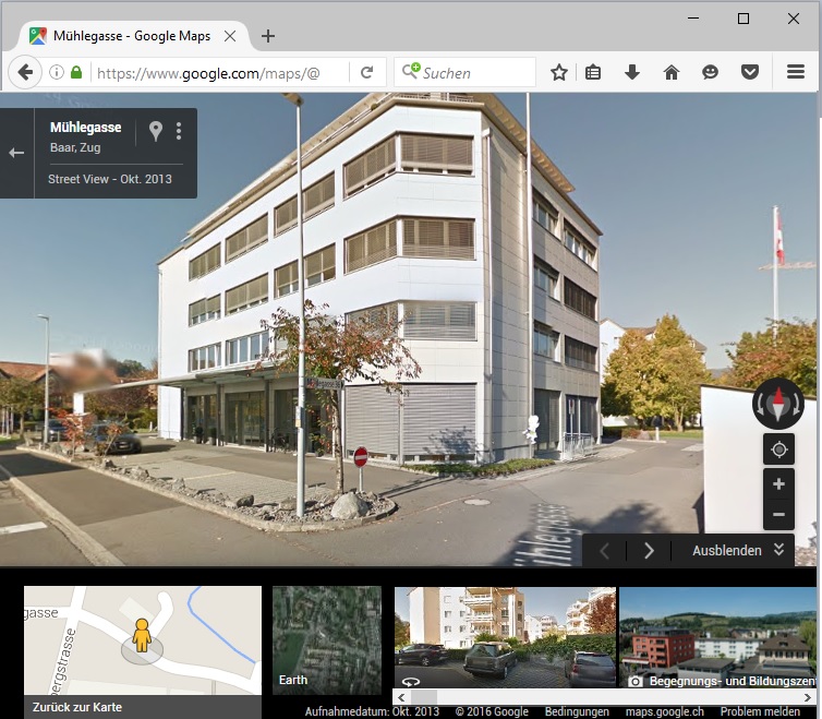
- OCAD opens the web browser with Google Street View at the chosen position and direction.
- Here you see the building, in which OCAD has its office.
- Here you see the building, in which OCAD has its office.
