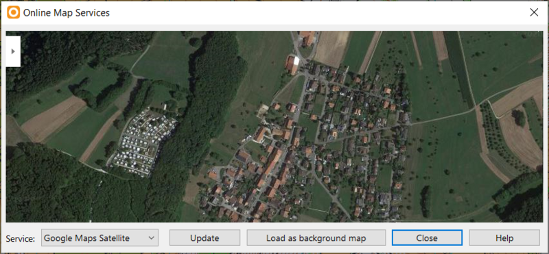
File:OnlineMapServices.png
Revision as of 07:34, 14 October 2020 by ANK (talk | contribs) (ANK uploaded a new version of File:OnlineMapServices.png)

Size of this preview: 800 × 371 pixels. Other resolution: 852 × 395 pixels.
Original file (852 × 395 pixels, file size: 432 KB, MIME type: image/png)
File history
Click on a date/time to view the file as it appeared at that time.
| Date/Time | Thumbnail | Dimensions | User | Comment | |
|---|---|---|---|---|---|
| current | 07:34, 14 October 2020 | | 852 × 395 (432 KB) | ANK (talk | contribs) | |
| 21:24, 13 May 2020 |  | 1,062 × 681 (1.16 MB) | ANK (talk | contribs) | ||
| 16:57, 16 January 2020 |  | 958 × 507 (683 KB) | ANK (talk | contribs) | ||
| 17:16, 23 February 2017 |  | 1,117 × 639 (1.27 MB) | GRS (talk | contribs) |
You cannot overwrite this file.
File usage
The following page uses this file: