Example National Park Boundary
Revision as of 11:57, 24 January 2013 by FBO (talk | contribs) (FBO moved page Example National Park boundary to Example National Park Boundary without leaving a redirect)
To create this symbol, start from an empty line symbol and then do the following steps:
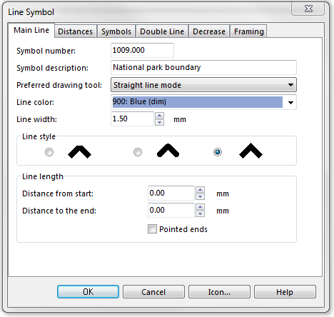
In the Main Line page:
- Enter Line color and Line width.
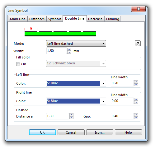
In the Double Line page:
- Choose Both lines dashed for Mode.
- Enter the width.
- Enter width and color in the box Right line.
- Enter Distance a and Gap in Dashed.
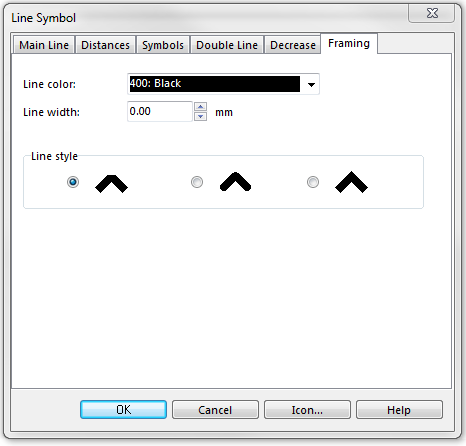
In the Framing page:
- Enter Line color and Line width.
Download link: [Example_NationalParkBoundary.ocd]
Back to Create a New Symbol


