WMS
A Web Map Service (WMS) is a standard protocol for serving georeferenced map images over the Internet. The images that are generated by a map server using data from a GIS database.
![]() WMS requires a georeferenced map. Choose Scale and Coordinate System from the Map menu to set the map scale and a coordinate system.
WMS requires a georeferenced map. Choose Scale and Coordinate System from the Map menu to set the map scale and a coordinate system.
Choose WMS - Web Map Service from Background Map menu.
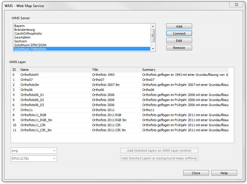
WMS Server
The WMS servers are listed in the upper box of the WMS - Web Map Service dialog.
Add a WMS Server
Click Add to the add a WMS Server.
Connect to a WMS Server
Select a WMS server from the list and click Connect. If the connection was successful OCAD gets a list from the server with the available layers. See at WMS Layer how to add layers to background maps.
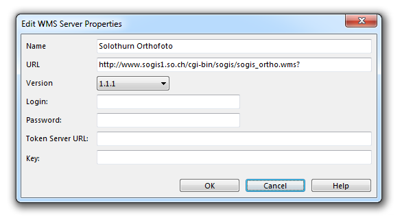
Edit WMS Server Properties
Click Edit to edit the WMS server properties:
Remove a WMS Server
Click Remove to remove the selected WMS server from the list.
WMS Layer
After connecting to a WMS server the available WMS layers are listed in the WMS layer box. The Image format can be chosen if a layer is selected.
![]() Web Map Services generally provide their images in multiple spatial reference systems. OCAD can only access to WMS if the OCAD maps' coordinate system (ex. Swiss Grid CH1903) is supported by the WMS. Then the Spatial reference system is automatically set to the corresponding EPSG code.
Web Map Services generally provide their images in multiple spatial reference systems. OCAD can only access to WMS if the OCAD maps' coordinate system (ex. Swiss Grid CH1903) is supported by the WMS. Then the Spatial reference system is automatically set to the corresponding EPSG code.
Add Selected Layers as WMS Layers to Background Maps (Online)
Select a WMS layer in the list, choose an image format and click Add selected layers as WMS layers to background maps (online)
Add Current View of Selected Layers to Background Maps (Offline)
Select a WMS layer in the list, choose an image format and click Add current view of selected layers to background maps (offline).
Close the dialog box. You can manage the view by choosing Manage from the Background Map menu.
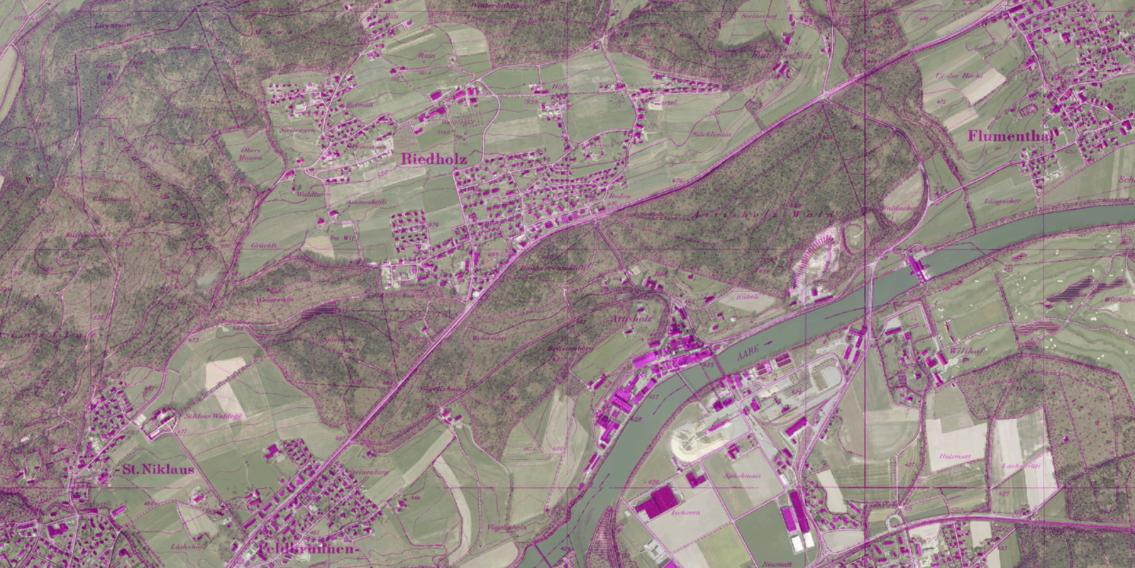
One possibility to display the map:


