Uploads by GRS
Jump to navigation
Jump to search
This special page shows all uploaded files.
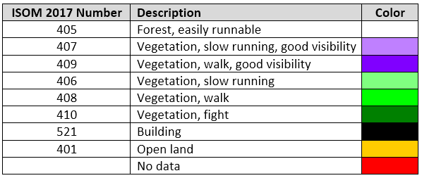
| Date | Name | Thumbnail | Size | Description | Versions |
|---|---|---|---|---|---|
| 14:20, 8 February 2016 | DemImportWizard6.png (file) |  |
10 KB | 1 | |
| 13:23, 16 May 2017 | LidarPointCloudManager Information.png (file) |  |
10 KB | 1 | |
| 13:46, 26 July 2017 | SymbolSetConversion ListBlue.png (file) |  |
10 KB | 1 | |
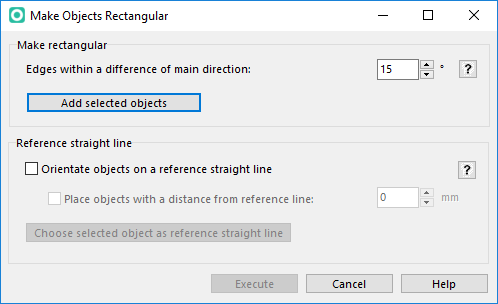
| 09:47, 29 August 2016 | RectifyObjects.PNG (file) |  |
11 KB | 3 | |
| 16:11, 30 October 2015 | AssignNewSymbolWhenChangingFieldValue1.png (file) |  |
12 KB | 2 | |
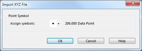
| 13:28, 13 September 2012 | XyzFileImportSummary.png (file) |  |
12 KB | 1 | |
| 10:07, 11 March 2013 | MergeContourLinesBySelectedSymbols.png (file) |  |
12 KB | 3 | |
| 10:37, 28 January 2013 | ErrorStringResource.PNG (file) |  |
12 KB | 1 | |
| 14:21, 13 May 2016 | BlendModeTable.png (file) |  |
13 KB | 1 | |
| 14:48, 9 August 2016 | Update1.PNG (file) |  |
13 KB | 2 | |
| 11:38, 7 March 2013 | ManageBackgroundMapInfoOcad.png (file) |  |
13 KB | 1 | |
| 17:07, 9 August 2016 | Update4.PNG (file) |  |
13 KB | 2 | |
| 10:54, 16 December 2015 | Default Program Association 2.png (file) |  |
13 KB | 1 | |
| 14:44, 1 May 2013 | ExportPdfExampleColorTable.png (file) | 13 KB | 1 | ||
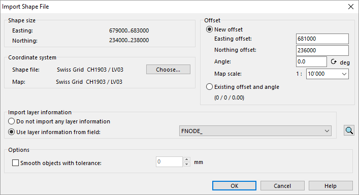
| 14:32, 2 August 2016 | ImportShapeFileOrienteering.PNG (file) |  |
14 KB | 1 | |
| 16:31, 16 May 2017 | LidarPointCloudManager ThresholdsExcel.png (file) |  |
14 KB | 1 | |
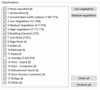
| 14:45, 16 May 2017 | LidarPointCloudManager PointCloud ClassificationOption.png (file) |  |
15 KB | 1 | |
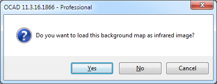
| 11:08, 4 November 2013 | MessageBoxInfraredImage.png (file) |  |
15 KB | 1 | |
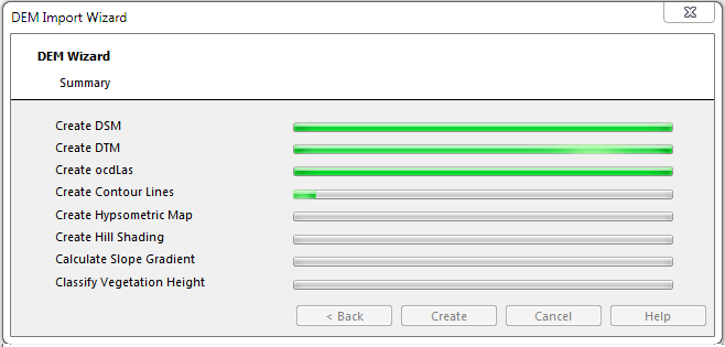
| 14:51, 18 February 2016 | DemImportWizardSummary.png (file) |  |
15 KB | 2 | |
| 13:38, 26 July 2017 | SymbolSetConversion SymbolChooser.png (file) | 15 KB | 1 | ||
| 15:47, 16 May 2017 | LidarPointCloudManager OrienteeringBaseMapColors.png (file) |  |
15 KB | 1 | |
| 13:25, 13 September 2012 | XyzFileImportSymbol.png (file) |  |
15 KB | 1 | |
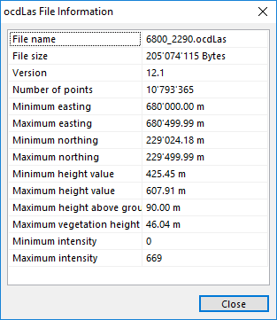
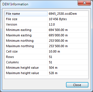
| 17:55, 8 February 2016 | DemInfo.png (file) |  |
16 KB | 1 | |
| 14:45, 2 August 2016 | ImportShapeFileOrienteeringDatabaseTable.PNG (file) |  |
16 KB | 1 | |
| 15:27, 26 July 2017 | SymbolSetConversion SpotColors.png (file) | 16 KB | 1 | ||
| 10:30, 10 August 2016 | Update2A.PNG (file) |  |
16 KB | 2 | |
| 15:18, 11 August 2016 | CreateHypsometricMap.PNG (file) |  |
16 KB | 3 | |
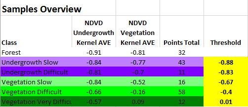
| 16:14, 16 May 2017 | LidarPointCloudManager PointCloud Samples.png (file) |  |
17 KB | 1 | |
| 17:03, 9 August 2016 | Update3.PNG (file) |  |
17 KB | 3 | |
| 14:17, 26 July 2017 | SymbolSetConversion ColorTable.png (file) | 17 KB | 1 | ||
| 14:18, 14 September 2012 | ManageBackgroundMapEncryptedInfo.png (file) |  |
17 KB | 1 | |
| 17:21, 13 August 2012 | OptimizeRepair.png (file) |  |
18 KB | 1 | |
| 13:13, 23 August 2012 | ObjectMeasure.png (file) |  |
18 KB | 1 | |
| 18:10, 24 October 2012 | ChangeCoordinateSystem.PNG (file) |  |
18 KB | 2 | |
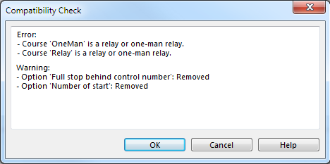
| 18:16, 31 October 2012 | CompatibilityCheck.png (file) |  |
18 KB | 1 | |
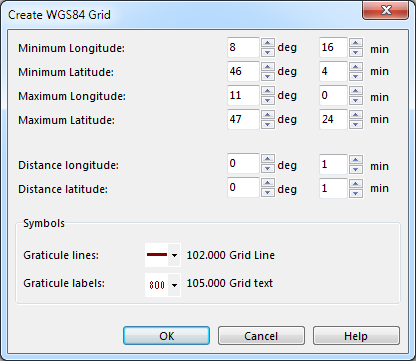
| 09:57, 13 March 2013 | CreateGridLine.PNG (file) |  |
18 KB | 2 | |
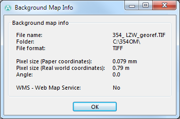
| 14:34, 14 September 2012 | ManageBackgroundMapInfo.png (file) |  |
18 KB | 1 | |
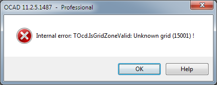
| 18:11, 19 November 2012 | InternalErrorTOcdIsGridZoneValidUnknownGrid.png (file) |  |
18 KB | 1 | |
| 08:58, 27 July 2012 | ErrorMessageMissingEtzw32dll.PNG (file) |  |
19 KB | 1 | |
| 17:55, 3 November 2017 | LicenseManager.png (file) |  |
19 KB | 2 | |
| 08:45, 23 May 2012 | WarningOpenOcdBackgroundMapInOtherScale.png (file) |  |
19 KB | 1 | |
| 10:19, 18 March 2013 | CreateNameIndexDialog.PNG (file) |  |
19 KB | 1 | |
| 16:29, 14 September 2016 | BackgroundMapOpenPdf.png (file) |  |
19 KB | 1 | |
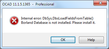
| 16:55, 13 September 2012 | ErrorMessageBorlandEngineInstall.png (file) |  |
20 KB | 1 | |
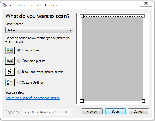
| 15:40, 13 November 2015 | ScanDialog.png (file) |  |
20 KB | 1 | |
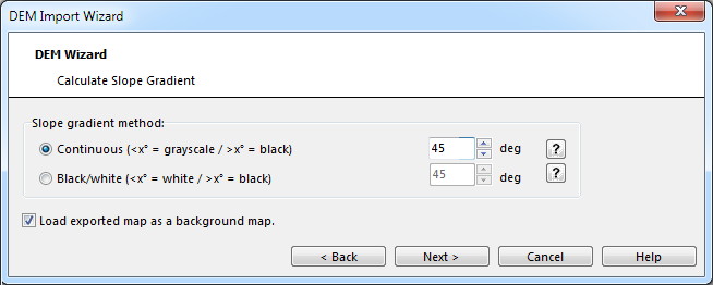
| 16:13, 18 February 2016 | CalculateSlopeGradient.PNG (file) |  |
20 KB | 3 | |
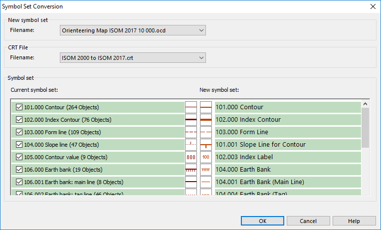
| 09:18, 26 July 2017 | SymbolSetConversion Dialog.png (file) |  |
20 KB | 1 | |
| 09:20, 26 July 2017 | SymbolSetConversion DialogForm.png (file) |  |
20 KB | 1 | |
| 16:31, 5 April 2016 | AlsDataImport 3.png (file) |  |
21 KB | 1 | |
| 08:49, 6 September 2013 | AnErrorOccuredWhileTryingToReplaceTheExistingFile.PNG (file) |  |
21 KB | 1 |