Uploads by GRS
Jump to navigation
Jump to search
This special page shows all uploaded files.
| Date | Name | Thumbnail | Size | Description | Versions |
|---|---|---|---|---|---|
| 13:30, 16 May 2017 | LidarPointCloudManager ShowFrame.png (file) |  |
35 KB | 2 | |
| 10:58, 16 December 2015 | Default Program Association 1.png (file) |  |
37 KB | 3 | |
| 14:06, 16 May 2017 | LidarPointCloudManager Classification.png (file) |  |
38 KB | 1 | |
| 18:54, 23 November 2012 | PunchingUnitIDs.PNG (file) |  |
41 KB | 1 | |
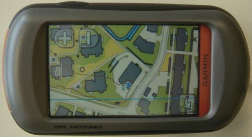
| 16:30, 5 March 2013 | OcadMapOnGarminOregon.jpg (file) |  |
44 KB | 1 | |
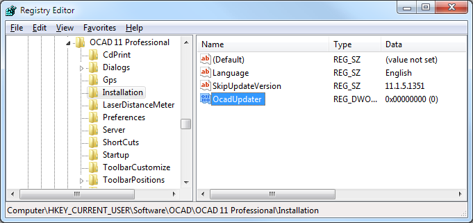
| 13:48, 11 September 2012 | RegistryOcadUpdater.png (file) |  |
44 KB | 1 | |
| 11:08, 16 December 2015 | Default Program Association 4.png (file) |  |
47 KB | 2 | |
| 14:47, 16 May 2017 | LidarPointCloudManager PointCloud ClassificationLowVegetions.png (file) |  |
50 KB | 1 | |
| 14:46, 16 May 2017 | LidarPointCloudManager PointCloud ClassificationMediumVegetions.png (file) |  |
50 KB | 1 | |
| 17:42, 29 October 2012 | DEM.jpg (file) |  |
53 KB | 2 | |
| 15:53, 1 May 2013 | ExportPdfExampleSpotColorsCombindedAcrobatReader2.png (file) |  |
55 KB | 1 | |
| 13:13, 13 September 2012 | XyzFileImport.png (file) |  |
56 KB | 1 | |
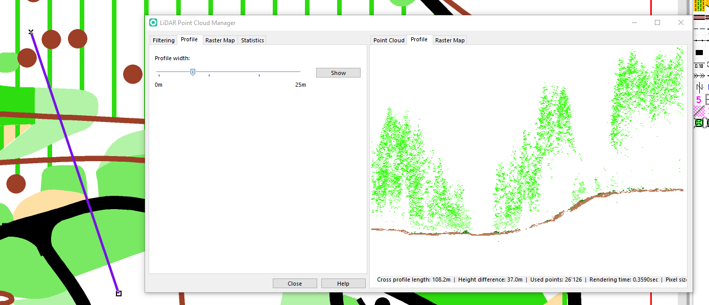
| 13:41, 16 May 2017 | LidarPointCloudManager Profile.png (file) |  |
59 KB | 1 | |
| 11:23, 10 August 2016 | PrintControlDescriptionPdfReader.png (file) |  |
65 KB | 1 | |
| 09:39, 18 April 2012 | Routing9.png (file) |  |
74 KB | 1 | |
| 09:03, 22 April 2013 | ImportShapeText1.png (file) |  |
78 KB | 1 | |
| 09:10, 22 April 2013 | ImportShapeText3.png (file) |  |
79 KB | 1 | |
| 14:06, 16 May 2017 | LidarPointCloudManager VegetationDensity.png (file) |  |
81 KB | 1 | |
| 15:27, 1 May 2013 | ExportPdfExampleSpotColorsCombinded.png (file) |  |
89 KB | 1 | |
| 13:46, 16 May 2017 | LidarPointCloudManager PointCloud.png (file) |  |
95 KB | 1 | |
| 15:05, 16 May 2017 | LidarPointCloudManager RasterMap.png (file) |  |
128 KB | 1 | |
| 16:02, 18 February 2016 | HillShadingPreview.PNG (file) |  |
136 KB | 1 | |
| 15:42, 18 February 2016 | HypsometricMap.PNG (file) |  |
154 KB | 2 | |
| 09:03, 26 July 2017 | SymbolSetConversion SampleMap.png (file) |  |
166 KB | 1 | |
| 14:14, 14 June 2016 | GoogleStreetView.jpg (file) |  |
175 KB | 1 | |
| 14:06, 16 May 2017 | LidarPointCloudManager HeightOverGround.png (file) |  |
179 KB | 1 | |
| 11:39, 8 March 2013 | ExportCourseMapsPlaceCoursesBelowEachOther.png (file) |  |
186 KB | 1 | |
| 16:46, 16 May 2017 | LidarPointCloudManager Example.png (file) |  |
199 KB | 1 | |
| 17:00, 5 April 2016 | AlsDataImport 8.png (file) |  |
208 KB | 1 | |
| 16:55, 5 April 2016 | AlsDataImport 7.png (file) |  |
220 KB | 1 | |
| 11:40, 8 March 2013 | ExportCourseMapsPlaceCoursesBesideEachOther.png (file) | 221 KB | 1 | ||
| 11:09, 4 November 2013 | InfraredImageTrueColors.png (file) |  |
222 KB | 1 | |
| 11:08, 4 November 2013 | InfraredImageFalseColors.png (file) |  |
229 KB | 1 | |
| 14:06, 16 May 2017 | LidarPointCloudManager Intensity.png (file) |  |
238 KB | 1 | |
| 18:20, 23 February 2017 | NewMapWizard Location.png (file) |  |
250 KB | 1 | |
| 18:39, 23 February 2017 | NewMapWizard OsmImport Map.png (file) |  |
275 KB | 1 | |
| 16:00, 18 February 2016 | HillShading2.PNG (file) |  |
397 KB | 1 | |
| 11:52, 8 March 2013 | ExportCourseMapsPlaceCoursesAtOriginalPosition.png (file) |  |
448 KB | 2 | |
| 17:32, 8 February 2016 | DemImportWizard9.png (file) |  |
480 KB | 1 | |
| 16:54, 5 April 2016 | AlsDataImport 6.png (file) |  |
495 KB | 1 | |
| 14:13, 26 July 2017 | SymbolSetConversion ConvertedMap.png (file) |  |
525 KB | 1 | |
| 09:41, 10 March 2016 | IgnMapJpeg2000 1.png (file) |  |
528 KB | 1 | |
| 17:26, 23 February 2017 | OnlineMapServicesBackgroundMap.png (file) |  |
606 KB | 1 | |
| 16:29, 18 February 2016 | VegetationHeightColor.PNG (file) |  |
726 KB | 1 | |
| 15:55, 18 February 2016 | HillShading.PNG (file) |  |
781 KB | 2 | |
| 17:31, 8 February 2016 | DemImportWizard10.png (file) |  |
826 KB | 1 | |
| 17:16, 23 February 2017 | OnlineMapServices.png (file) |  |
1.27 MB | 1 | |
| 12:34, 1 December 2014 | DtmHillShading.png (file) |  |
4.98 MB | 1 | |
| 12:35, 1 December 2014 | ClassifiedVegetationHeight.png (file) |  |
5.57 MB | 1 | |
| 12:35, 1 December 2014 | DifferenceDSM DTM.png (file) |  |
6.25 MB | 1 |