Laser Rangefinder
Jump to navigation
Jump to search
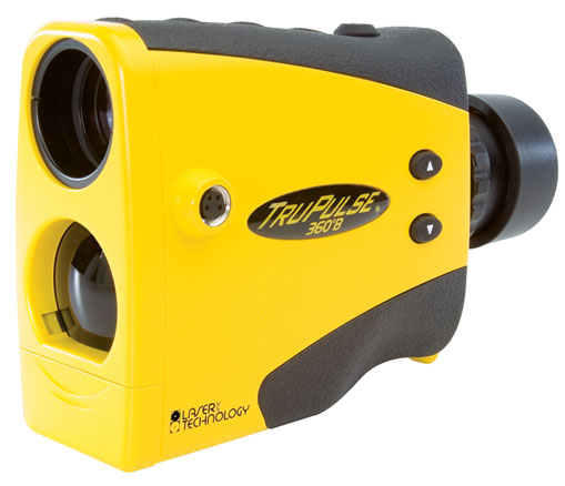

TruPulse 360°B
A connection to Laser Distance Meters can be setup via a serial COM port. Use Bluetooth for the data transfer from the Laser Distance Meter to the computer.
- Choose Connect to Laser Distance Meter from the GPS menu.
- Set device, port and speed.
- Click to the Test button to test the connection.
File:ConnectToLaserDistanceMeter.PNG
Laser Distance Meter Drawing Tool
Choose the ![]() Laser distance meter drawing mode. The Laser Distance Meter dialog appears.
Laser distance meter drawing mode. The Laser Distance Meter dialog appears.
Drawing options
Settings for different working processes can be done in the OptionsTab.
Direction: Choose between Foresight and Backsight.
- Foresight: Measure forwards from your known position to a place with unknown position.
- Backsight Measure backwards from a place with known position to your unknown position.
Traverse mode: Choose between Linear traverse and Radial traverse
- Linear traverse: Measure a series of points. A measured point is the start position for the next measurement.
- Radial traverse: Measure a series of points. The start position is always the same.
Draw measures data automatically:
Turn on this option if measured positions should be added to the map automatically. Otherwise each position must be confirmed by the user.

Drawing
- Set a reference point: Set it by clicking on the map or get the GPS position.
- Measure the features position. Depending on the Draw measures data automatically option the positions are added to the map automatically or they must be confirmed.
- Finish a feature by clicking the Stop button.

Back to GPS