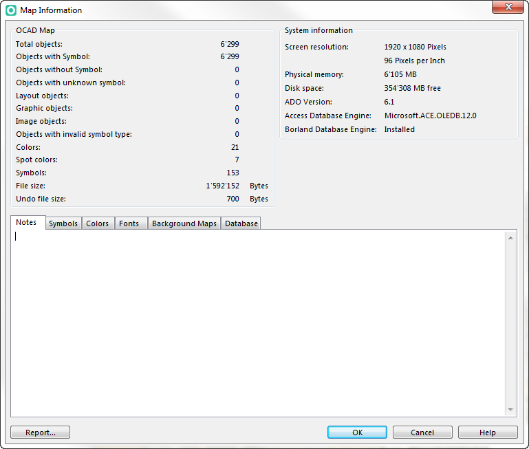
File:MapInformation.png
Revision as of 14:33, 29 October 2015 by KLH (talk | contribs) (KLH uploaded a new version of File:MapInformation.png)
Size of this preview: 706 × 600 pixels. Other resolution: 769 × 653 pixels.
Original file (769 × 653 pixels, file size: 35 KB, MIME type: image/png)
File history
Click on a date/time to view the file as it appeared at that time.
| Date/Time | Thumbnail | Dimensions | User | Comment | |
|---|---|---|---|---|---|
| current | 14:33, 29 October 2015 | | 769 × 653 (35 KB) | KLH (talk | contribs) | |
| 16:48, 13 August 2012 | 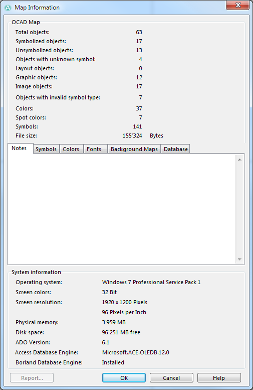 | 505 × 777 (38 KB) | GRS (talk | contribs) |
You cannot overwrite this file.
File usage
The following page uses this file: