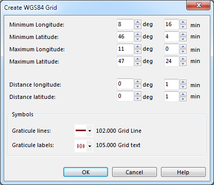
Create WGS84 Grid
Revision as of 14:50, 24 November 2011 by 80.238.188.147 (talk)

|
Before creating a WGS84 Grid, define Scale and Coordinate System in Map menu.
- Choose Create WGS84 Grid from Map menu.
- Enter the corresponding values.
- Choose symbols for graticule lines and graticule labels.
- Click OK.
Read more about WGS84: http://en.wikipedia.org/wiki/World_Geodetic_System