Show Impassable Features: Difference between revisions
Jump to navigation
Jump to search
No edit summary |
No edit summary |
||
| Line 4: | Line 4: | ||
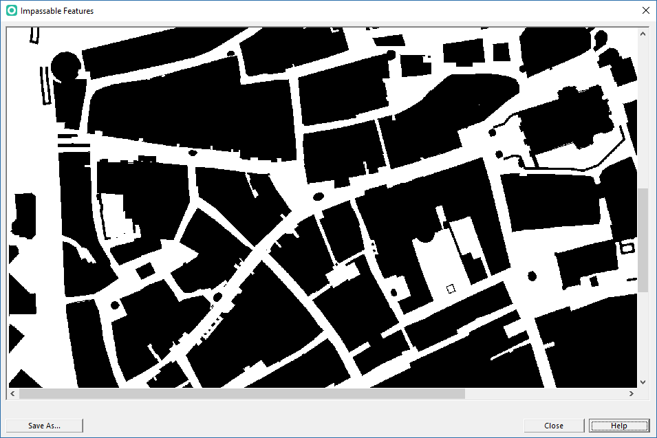
This function shows a black/white image with all impassable features (incl. course overprint out-of-bounds features). | This function shows a black/white image with all impassable features (incl. course overprint out-of-bounds features). | ||
[[File:ShowImpassableFeatures.png]] | [[File:ShowImpassableFeatures.png]]<br><br> | ||
Click the '''Save As...''' button to save a the image as TIFF file. The default path is your map's folder. | Click the '''Save As...''' button to save a the image as TIFF file. The default path is your map's folder. | ||
