LiDAR Point Cloud Manager
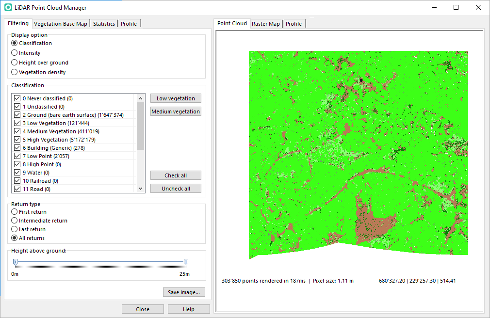
The LiDAR Point Cloud Manager analyzes the vegetation within the forest and creates a vegetation raster map. The analysis based on a ocdLas file created when importing las files in DEM Import Wizard.
Load
This function loads an OCAD LAS file (*.ocdLas) and opens the LiDAR Point Cloud Manager.
The OCAD LAS file is a LiDAR point cloud in an OCAD internal file format created in the DEM Import Wizard. This file is optimized for fast access to the LiDAR points.
For more information about this file open the Information dialog.
Info
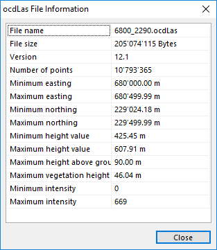
This function shows information about ocdLas file.
When moving the mouse cursor over the file name then the full file path appears.
Show Frame
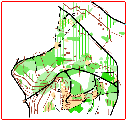
This function shows a red rectangle with the extent of the loaded ocdLas file.
Close
This function closes ocdLas file.
Manage
This function reopens the LiDAR Point Cloud Manager.
Point Cloud
Profile
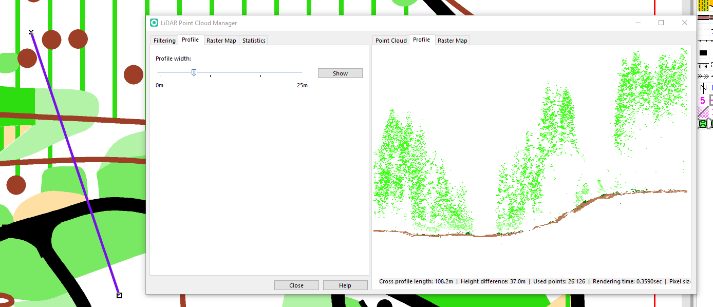
The profile shows the vegetation structure.
Draw a straight line in the drawing area inside the loaded ocdLas file and select the line object.
Choose the profile width and click the Show button. OCAD draws the profile according the filter settings in the Filtering tab.


